
S.D. Horse Trails 2009 All Rights Reserved
Contact Clare Maudsley
Site by RickieDesigns
Links
HomeBarnett Ranch Preserve
Boulder Oaks
Butterfield Ranch Resort
Camp Lockett
Crestridge Reserve
Cuyamaca State Park
Daley Ranch
Eagle Rock
El Monte Trail
Fiesta Island Trail
Hollenbeck Canyon Trail
Horsethief Canyon
Laguna Mountains
Lake Hodges Trail
Lake Poway Trail
Los Penasquitos Canyon Preserve
Mission Trails
Mount Gower Preserve
Mule Hill/San Pascual Valley Trail
Oakoasis Preserve
Otay Regional Park
Pine Creek Trail
Pine Valley staging area
Ramona Grasslands Preserve
Robert's Ranch
Sacred Rocks Reserve
Santa Margarita Preserve
Santa Ysabel Preserves
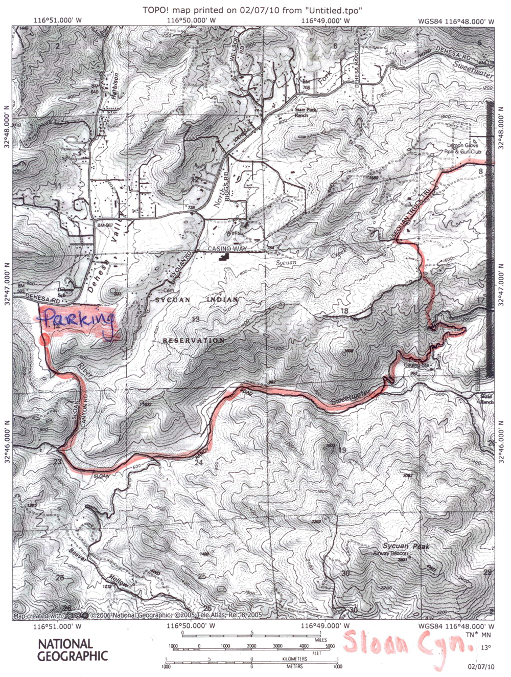
Sloan Canyon Trail
StageCoach Trails
Sweetwater River Trail
Sweetwater Regional Park Trail
Sycamore Canyon Trails
Tijuana River Valley
Vern Whitaker Horse Camp
William Heise Park
---------------------
EveryTrail.com
Trail Etiquette
Alpine Trails Brochure description
San Diego Reader trail description
Union Tribune Article
Photos and Maps 1
Photos and Maps 2
Wet Weather Trails due to Fire Roads
Length of Trail: This is a ‘there and back’ trail of up to 12 miles or more. It connects with the California Riding and Hiking Trail and travels along Sycuan Truck Trail crossing Japatul Road.
Trail description starting from Sycuan Truck Trail.
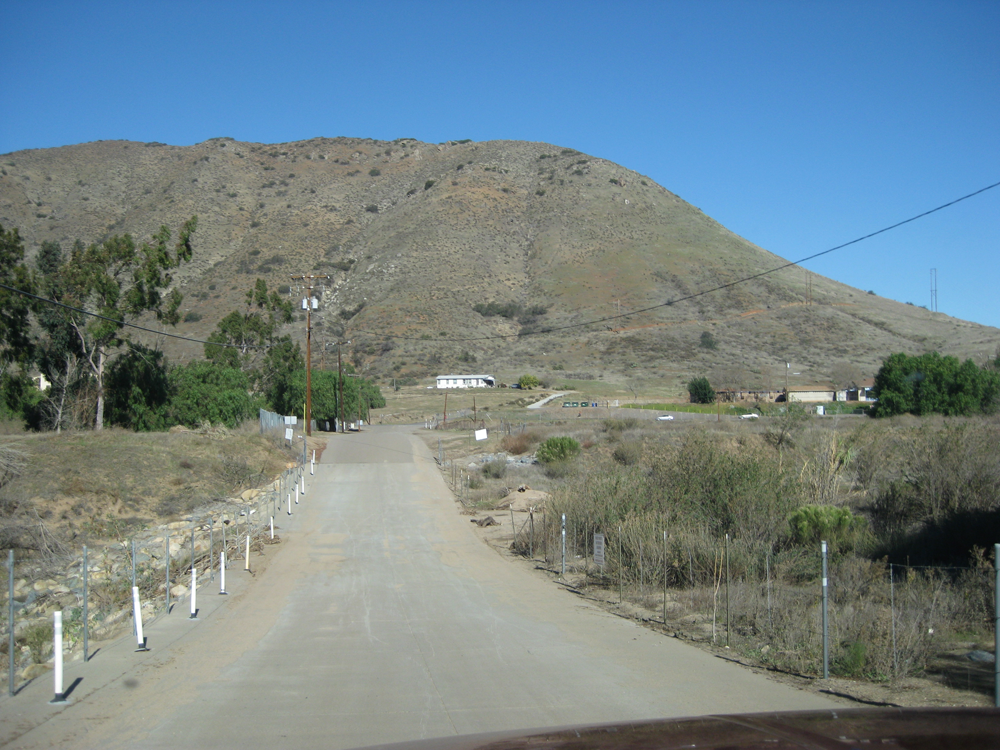
Staging Area: The best place to park is at the beginning of Sloan Canyon Truck Trail off Dehesa Road. There is not really any suitable parking for trucks and trailers along Sycuan Truck Trail.
Water: There is no water available, or corrals.
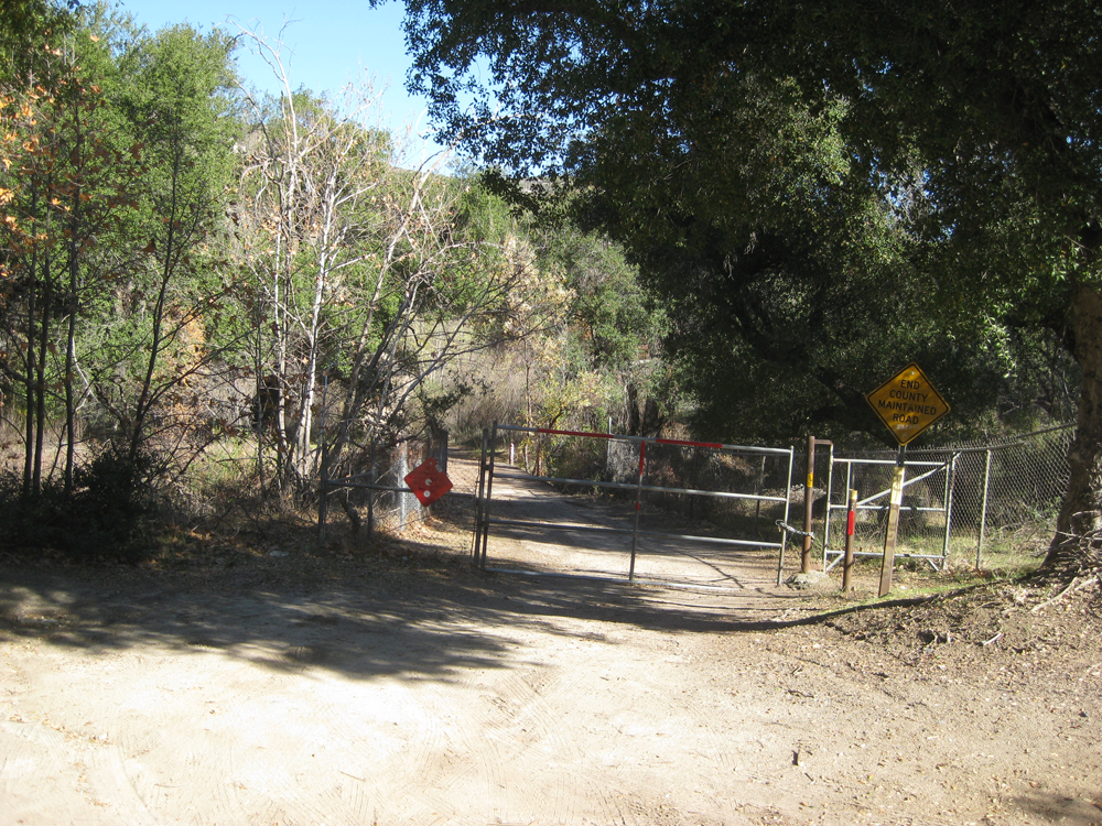
Trail Conditions: The trail follows the dirt road. You need to share it with motorized traffic. However, the trail is passable in wet weather so it is a good one to use in winter.
General Trail Info:
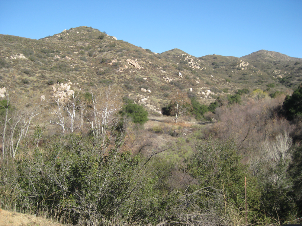
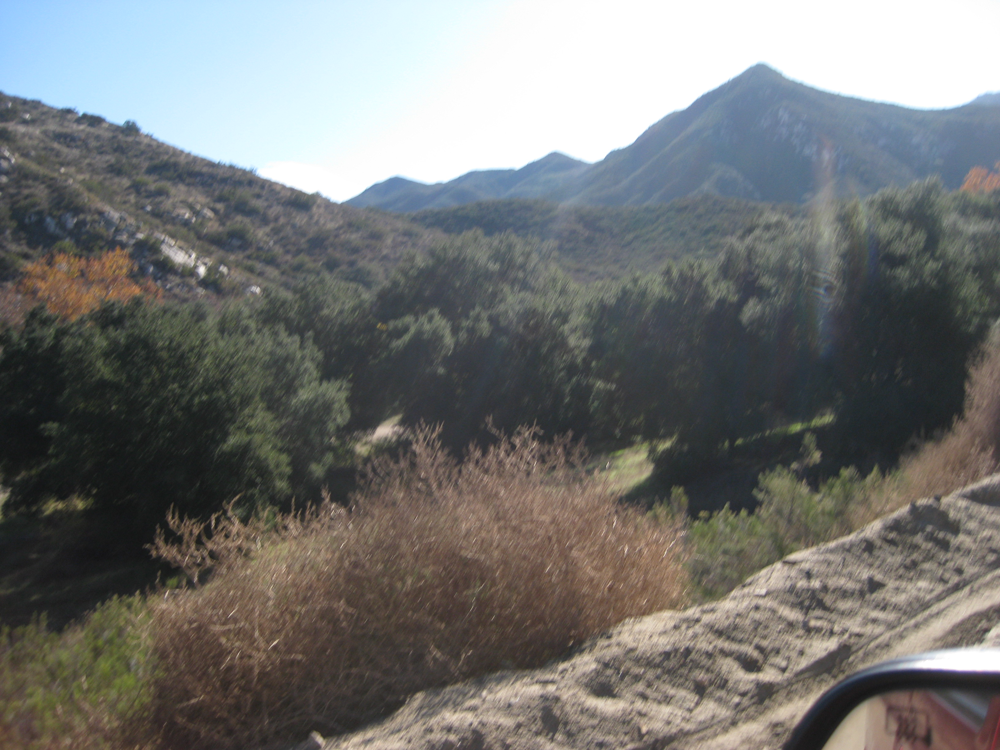
The trail offers nice views of McGinty Mountain to the south and Sycuan peak to the north. The trail winds through a canyon along a riparian area of the Sweetwater river through a lush oak grove. After just over 3 miles, there is a closed gate across the dirt road, but there is a passable horse gate and you can follow the trail up the 800 foot elevation to Sycuan Truck Trail.
The California Riding and Hiking Trail (CRHT) leaves Sloan Canyon and goes into Lawson Valley and on to Jamul to the south. This section of the CRHT is not currently open. The CRHT continues to the north toward Alpine. The CRHT encompasses more than 100 miles of trail from Otay Lakes to the Riverside County line and out to the Anza-Borrego desert. It was established in 1945 with the goal of creating a trail from the US-Mexico border to Oregon. However, major sections of the CRHT are not open at the moment, although San Diego County officials are working on making the trail one continuous path.
 Sloan Canyon Trail